Weather forecasting changed the course of World War II in ways most people never realized.
Military leaders depended on accurate weather predictions to plan bombing missions, naval operations, and ground attacks. One bad forecast could doom thousands or waste precious resources.
The race to control weather data turned into a secret war inside the larger conflict, with both Allied and Axis forces fighting for meteorological advantage across the Atlantic and Arctic.
Universities rushed to create crash courses to train military weather experts. Radar technology started to help forecasters track storms and wind patterns more effectively than ever.
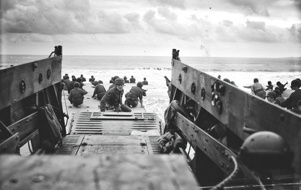
During D-Day, Allied meteorologists spotted a brief window of good weather that German forecasters missed. That single prediction shaped the success of the Normandy invasion and, honestly, changed how modern weather services operate.
The advances and training programs from wartime needs laid the groundwork for today’s weather forecasting systems.
Meteorology and Strategic Military Planning
World War II was the first major conflict where weather forecasting became central to military decision-making.
Military leaders began using meteorological data in strategic planning, changing how they approached troop movements, logistics, and battlefield operations.
Meteorology’s Influence on WWII Military Decisions
Weather forecasting turned military planning from guesswork into calculated strategy.
The U.S. military set up university training programs in meteorology, with MIT leading the curriculum under Carl-Gustaf Rossby.
Military commanders leaned on meteorological intelligence to time major operations. Weather data influenced when to launch attacks, move supplies, and deploy troops.
Poor weather could ground aircraft, rough seas could sink landing craft, and storms could scatter formations.
By 1944, the military had trained thousands of officers in meteorology. MIT alone trained 994 officers, including 25 women and Lieutenant Wallace P. Reed, who later led the all-black weather unit at Tuskegee Institute.
Key meteorological factors that shaped military decisions included:
- Wind speed and direction for aircraft operations
- Cloud cover for bombing accuracy
- Sea conditions for naval landings
- Temperature for equipment performance
Weather’s Role in Air and Naval Operations
Air operations relied on accurate weather forecasting.
Weather forecasting detachments operated at nearly every major Allied airbase during the war.
Aircraft performance changed a lot with the weather. High winds could blow bombers off course. Low clouds made accurate bombing impossible. Ice could bring planes down.
Naval operations faced similar problems. Rough seas made amphibious landings dangerous or just not possible. Storms could scatter fleets. Fog offered cover but also created navigation nightmares.
The D-Day invasion really showed weather’s critical role.
Norwegian meteorologist Sverre Pettersen, working with Allied command, spotted a brief weather window on June 6, 1944. He analyzed high-altitude wind patterns and realized a storm would slow down, giving Allied forces their chance.
Some weathermen worked with the Office of Strategic Services, gathering weather intelligence behind enemy lines. They took big risks to provide crucial data for mission planning.
Integration of Meteorologists into Allied Command
Military leaders embedded meteorologists right into command structures.
Weather officers became essential members of planning teams, not just occasional consultants.
Command integration meant meteorologists joined strategic discussions. They advised commanders on timing and helped them understand weather risks.
This was a big change from pre-war practices.
The military set up centralized weather forecasting systems. Regional centers collected data from multiple sources and distributed forecasts to field commanders.
This coordination boosted accuracy and consistency.
Training programs produced weather specialists who understood both meteorology and military operations. These officers turned complex weather data into useful military intelligence.
Major operations showed the value of this integration. Weather forecasters helped set the timing of crucial Allied actions, not just D-Day but air campaigns and Pacific naval battles too.
Technological Advances in Weather Forecasting
World War II sparked huge changes in weather forecasting technology that saved countless military lives.
The military developed radar systems, launched weather reconnaissance flights, created new forecasting methods, and improved communication networks to predict weather patterns more accurately.
Adoption and Evolution of Radar Systems
Radar technology quickly became one of the most important weather tools during World War II.
Military forces first used radar to detect enemy aircraft and ships. Weather forecasters soon realized radar could also track rain, snow, and storms.
The British developed early radar systems in the late 1930s. These systems helped them spot incoming German bombers during the Battle of Britain.
American scientists kept improving radar throughout the war.
By 1943, meteorologists started using radar to see precipitation patterns. This breakthrough let forecasters watch weather systems move in real time.
Radar showed the size, shape, and movement of storms that had been invisible before.
Weather radar helped military planners pick the best times for bombing missions and troop movements.
The D-Day invasion relied heavily on radar weather data to choose the right weather window for the assault.
Weather Reconnaissance Flights and Data Collection
Military aircraft began flying directly into weather systems to gather data. These dangerous flights collected information ground stations just couldn’t get.
Pilots flew into hurricanes, storms, and all sorts of extreme weather.
The Army Air Forces created special weather reconnaissance units. These units used modified bombers with weather instruments on board.
Crews measured temperature, pressure, humidity, and wind speed at different altitudes.
Weather flights covered huge ocean areas where no weather stations existed. This was vital for planning Pacific Ocean military operations.
Ships and planes needed accurate weather info before crossing thousands of miles of open water.
Data from these flights made weather maps much better. Forecasters could finally see the big picture across entire regions.
This helped them predict where storms would go and how strong they’d get.
Development of Forecasting Techniques
Military weather services came up with new ways to analyze weather data during the war.
Forecasters learned to combine information from many sources to make more accurate predictions.
The Norwegian frontal theory became a go-to tool for military meteorologists. This theory explained how warm and cold air masses create weather fronts.
Understanding fronts helped forecasters predict storms, rain, and temperature changes.
Weather services created standardized forecasting procedures. All military stations analyzed data and made forecasts the same way.
This made communication between military units smoother.
Forecasters started using statistical methods to improve predictions. They looked at historical weather patterns to see how similar conditions played out before.
This helped them make better forecasts for military operations.
Improvements in Communication and Analysis
The military built faster communication networks for sharing weather information.
Radio systems sent weather data across continents in hours instead of days.
Teleprinters let weather stations send detailed reports quickly. These machines could transmit weather maps and messages to multiple places at once.
Military commanders received up-to-date weather info for battle planning.
Weather analysis centers processed data from hundreds of stations. Meteorologists created detailed maps showing conditions across entire theaters of war.
These maps helped coordinate large-scale military operations.
The military standardized weather reporting procedures. All stations used the same codes and formats to report weather.
This made it easier to combine data from different sources and make accurate regional forecasts.
Key Institutions and Training Initiatives
Major universities set up specialized meteorological programs to train weather forecasters for the war effort.
Military leaders worked closely with scientists to develop new forecasting methods and share critical weather data.
Meteorological Training Programs at Universities
The Massachusetts Institute of Technology built one of the most important weather training programs during the war.
MIT trained hundreds of military meteorologists through fast-paced courses. These programs packed years of weather science into just months.
The University of Chicago also developed a major meteorological program. Carl-Gustaf Rossby led the Chicago program and changed how weather forecasting was taught.
His methods taught students to analyze large-scale weather patterns using new math approaches.
Key Training Elements:
- Atmospheric physics and dynamics
- Weather map analysis techniques
- Radio communication methods
- Military-specific forecasting needs
Students learned to read complex weather maps fast. They practiced making forecasts under time pressure.
By war’s end, the programs produced over 6,000 trained meteorologists.
Collaboration Between Military and Scientific Communities
Military branches worked directly with civilian weather scientists throughout the war.
The Weather Service shared data and expertise with Army Air Forces and Navy meteorologists. This partnership built the most advanced forecasting system of its time.
Scientists developed new tools for military use. They created portable weather instruments for field operations.
Research teams studied weather patterns in combat zones all over the world.
The collaboration led to big advances in radar meteorology and upper-atmosphere analysis.
Military funding supported university research that improved forecasting accuracy.
Joint training exercises prepared both military and civilian forecasters for wartime conditions.
This partnership kept going after the war and shaped modern meteorology.
D-Day and the Impact of Forecasting on Pivotal Battles
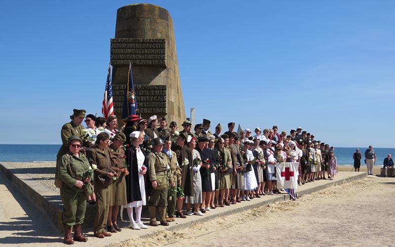
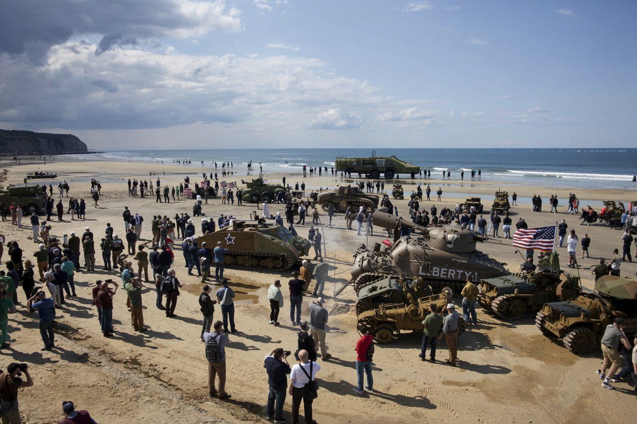
Weather forecasting set the exact timing of D-Day on June 6, 1944. It stands as one of the most important military predictions in history.
Allied meteorologists identified a short weather window that allowed over 160,000 troops to land successfully on French beaches.
Meteorological Forecasts that Shaped D-Day
The D-Day invasion needed specific weather conditions that meteorologists tracked for weeks.
Allied forces needed calm seas for landing craft, clear skies for air support, and low winds for paratroopers.
Group Captain James Stagg led the team of meteorologists who advised Allied commanders.
His team used data from ships, aircraft, and weather stations across Europe to build detailed forecasts.
Critical Weather Requirements for D-Day:
- Wave heights under 4 feet for landing craft
- Wind speeds below 18 mph for paratroopers
- Cloud cover under 50% for bomber accuracy
- No storms for at least 36 hours
The original invasion date was June 5, 1944. Bad weather forced commanders to delay by 24 hours.
Stagg’s team spotted a small break in the storm system moving across the English Channel.
German meteorologists missed this weather window. They had fewer observation points and couldn’t access Allied weather data.
This gave the Allies a huge advantage in timing their attack.
Role of Dwight D. Eisenhower and Allied Meteorologists
Dwight D. Eisenhower made the final call to launch D-Day based on weather forecasts.
He met with Stagg twice daily before the invasion to review weather conditions.
On June 4, Eisenhower postponed the invasion after Stagg warned of dangerous storms. That delay was risky—it gave Germans more time to catch on.
Stagg brought updated forecasts on June 5 showing better conditions for June 6. The weather would still be rough, but good enough.
Eisenhower had to choose between launching with marginal weather or waiting two more weeks.
He trusted his meteorologists and gave the green light.
He later wrote that waiting would have meant facing “the worst Channel weather for 20 years.”
Key Meteorological Team Members:
- Group Captain James Stagg (Chief Meteorologist)
- Colonel Donald Yates (U.S. Weather Service)
- Dr. Sverre Petterssen (Norwegian meteorologist)
Lessons from Weather Predictions in Major Operations
D-Day proved that accurate weather forecasting could decide military success or failure.
The Allies gained a big advantage by having better meteorological data than their enemies.
Military planners learned to bring meteorologists into strategic decision-making. Weather became as important as troop strength and equipment for planning.
The invasion succeeded partly because Allied forecasters accessed German weather reports through broken codes. That gave them a full picture of Atlantic weather patterns.
Modern military operations still depend on weather forecasting technology developed during World War II.
The principles set during D-Day continue to guide military meteorology.
Impact on Military Strategy:
- Weather forecasting became essential for all major operations
- Meteorologists gained permanent roles in military planning
- Intelligence services started targeting enemy weather data
- Technology advances sped up weather prediction methods
Allied and Axis Weather Services Compared
The Allied forces built superior weather forecasting systems through better organization and technology sharing.
The Axis powers struggled with limited access to global weather data and poor coordination between nations.
Organization and Capabilities of Allied Weather Services
Allied weather services really depended on tight coordination between countries. The British Meteorological Office teamed up with American weather crews, sharing data and forecasting ideas across the Atlantic.
Key Allied advantages included:
- Weather stations spread across North America, Iceland, and Greenland
- Intelligence sharing between British, American, and Canadian services
- Upper-air analysis techniques from the Bergen School
- Forecasting centers working together for major operations
The National Weather Service and military weather units put forecasting teams at almost every major Allied airbase. Weather officers worked right alongside mission planners. Some weathermen even joined the Office of Strategic Services on intelligence missions behind enemy lines.
For D-Day, six meteorologists split into three teams. They used scrambled telephone lines to pass data between forecasting centers at Widewing, the Admiralty, and Dunstable. This setup let them cross-check predictions in real time.
Allied forces ran weather stations across the North Atlantic. That gave them an edge in tracking storm systems heading toward Europe.
Limitations and Strategies of Axis Meteorological Efforts
Axis weather services struggled with big gaps in global data. German forecasters lost access to most North Atlantic weather reports after 1939. They just couldn’t track storms coming in from the west very well.
Germany tried a few different approaches to get around these limits:
- Set up automated weather stations like Weather Station Kurt in remote spots
- Sent U-boats to collect weather data in the North Atlantic
- Flew weather reconnaissance missions over the Arctic Ocean
- Built weather stations in occupied territories
The North Atlantic weather war turned into a hidden fight. Both sides worked to block their enemies from getting weather intelligence while guarding their own sources.
German meteorologists made some big mistakes during major military operations. They guessed wrong, thinking stormy weather would stop the D-Day invasion on June 6, 1944. That forecasting miss left German defenders caught off guard.
Axis coordination between German, Italian, and Japanese weather services stayed pretty limited. Each country mostly ran its own show, without the data sharing that made Allied forecasting so strong.
Legacy of WWII Weather Technology
The urgent need for weather predictions during the war forced huge changes in meteorology. These advances shaped both civilian and military weather services for a long time after 1945.
Post-War Advances in Meteorology
Universities that trained military meteorologists, like MIT and the University of Chicago, turned into weather research hubs.
The war brought radar technology into weather tracking. By the 1950s, meteorologists started using radar to follow rainfall and storm systems. That was a big step up from just using balloons.
Scientists came up with new ways to collect weather data. The military’s hydrogen balloon systems became standard tools. Weather stations popped up all over the globe to support both military and civilian needs.
Key technological advances included:
- Better weather balloons with improved instruments
- Radio communication for faster data sharing
- Improved weather mapping
- Standardized forecasting methods
The training programs from the war produced skilled meteorologists, and many stayed in the field after 1945. They brought military precision to civilian weather services.
Computer technology started to change weather prediction in the 1950s. Early computers could handle way more weather data than people could by hand.
Long-Term Influence on Civilian Weather Services
The National Weather Service picked up a lot of military innovations. Forecasts got more accurate and reliable for everyone.
The war showed that quick sharing of weather data over long distances was vital. This pushed for better communication networks between weather stations. Radio and telegraph systems linked up forecasters across the country.
Military weather training programs created a new wave of civilian meteorologists. These folks brought discipline and scientific methods to weather prediction.
The weather service began doing more than just basic forecasts. Agriculture, aviation, and shipping all wanted better weather info. The military had shown how detailed forecasting could really make a difference.
International cooperation in weather reporting started during the war. Countries shared weather data to support military operations, and this teamwork kept going after 1945 with global weather monitoring.
Television weather reporting kicked off in the late 1940s. Military-trained meteorologists ended up being the first TV weather presenters.
Ongoing Importance of Military Weather Forecasting
Modern military operations still lean heavily on weather predictions. WWII taught the armed forces some hard lessons that shape today’s military weather services.
Each branch runs its own specialized weather units. The Air Force Weather Agency actually started with the Army Air Corps weather squadrons back in WWII.
Modern military weather services provide:
- Flight safety info for aircraft operations
- Naval weather support for ship movements
- Ground force weather briefings for combat operations
- Satellite weather monitoring from space
These days, military weather forecasting relies on some pretty advanced tech. Satellites, supercomputers, and global sensor networks all work together to give detailed weather data.
Still, the basics from WWII stick around. Weather remains a huge factor in military planning.
Just think about the D-Day invasion—weather decisions changed history. Military commanders sometimes hold off on missions because of forecasts.
The military keeps pushing weather science forward. Research into climate patterns and extreme weather helps out both military and civilian forecasters.

